|
The
Huntingdon County Transportation Society actively archives and
displays ephemera, photography, data and information on the
rich transportation heritage of the area surrounding Huntingdon
Pennsylvania. Local railroads like the East Broad Top, The
Huntingdon and Broad Top, and the Diamond Valley are all represented, as well as the Pennsylvania canal, local air service,
Navigable
waterways, the roads, frontier trails and Native American paths.
Of course, the Pennsylvania, Penn Central, Conrail,
Amtrak and Norfolk Southern are addressed as well.
For
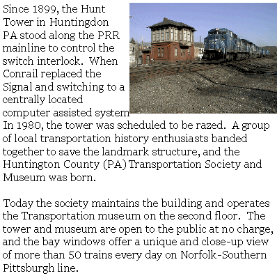
the rail buff, the location of one of the only surviving towers of this
sort is located only 25 miles or so from Altoona, the Horseshoe Curve,
and the railroader's Museum, and only 15 miles from the northern
terminus of the East Broad Top RR. (We are 100 feet from the HBT
and canal). Only 30 miles from State College and 30 miles from
Lewistown. 15 miles from I-99, 21 miles from I-76, and there is
an Amtrak station 200 yards away. Not too far off the beaten
path!
|
|


